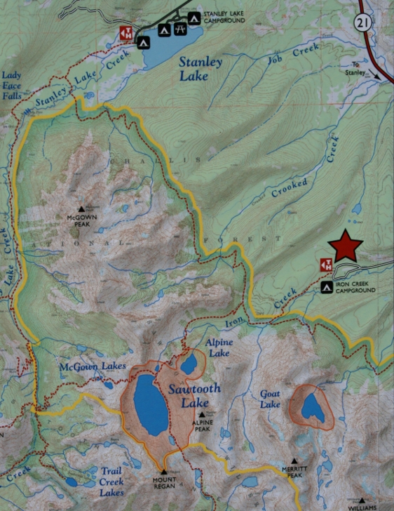
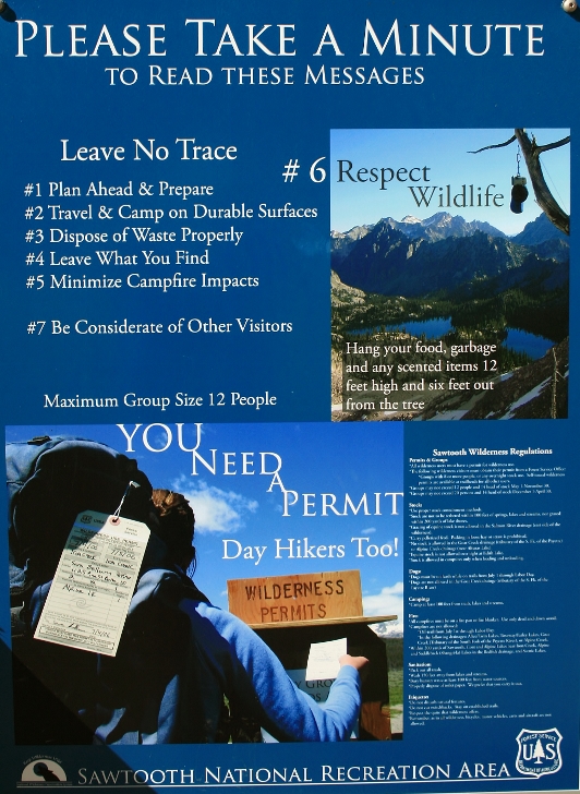
The hike to Goat Lake is approxiamately 4.0 miles with an elevation gain of 1500 feet. Follow this Google map to Iron Creek Trailhead from Stanley, Idaho. I hiked to Goat Lake on a Tuesday and still met 10 people along the trail. I hiked from Iron Creek Trailhead 3 times in the summer of 2014 but failed to take pictures of the trailhead. I guess I was to excited about the days hike to slow down for more than the time it took to fill-out my permit. The elevation at the trailhead is 6730 feet.
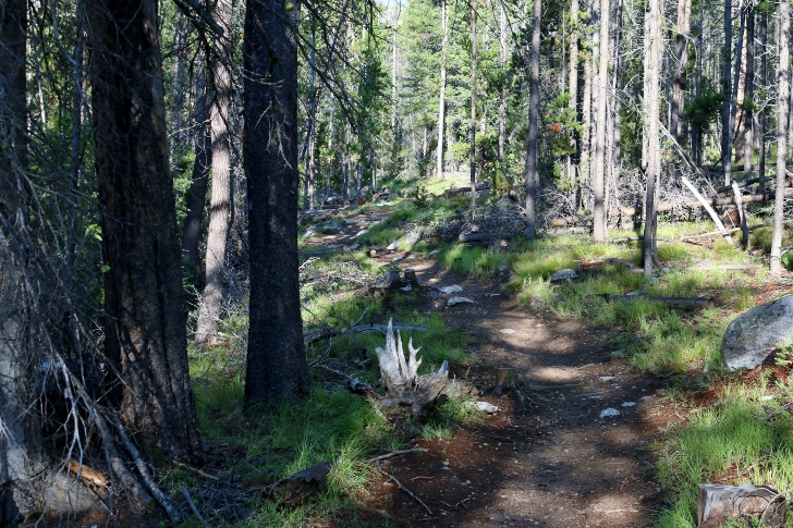
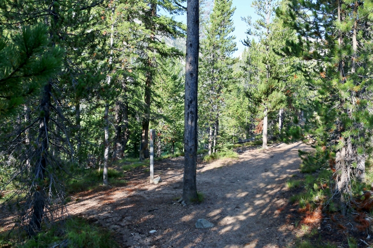
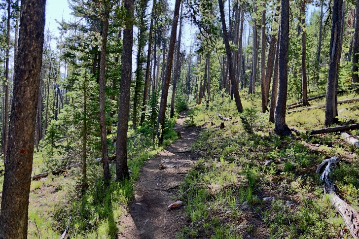
The trail is broad and easy for the first mile. It wanders about within earshot of Iron Creek during that mile.
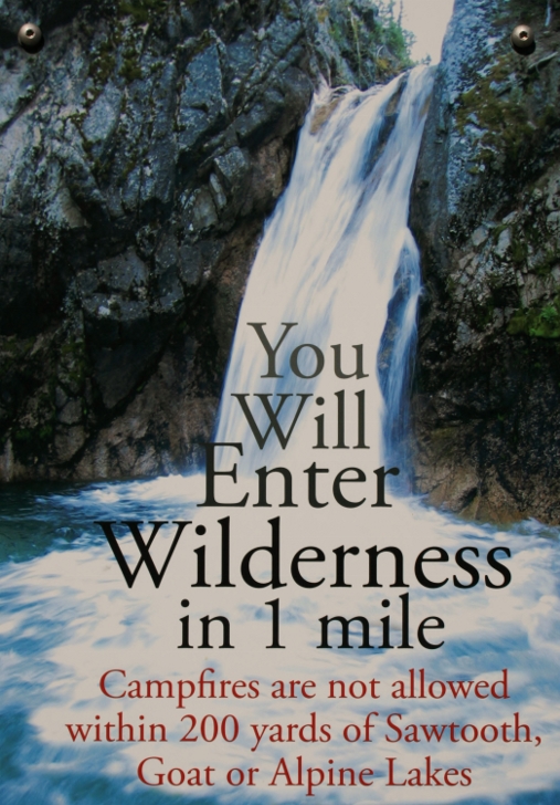
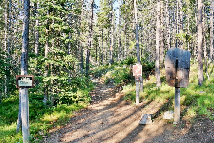
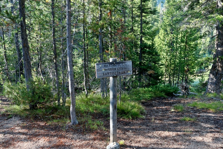
The boundary to the Wilderness Area is marked by these signs.
At the 1 mile mark you will find this junction, take the left fork to Goat Lake and the right fork for Alpine and Sawtooth Lakes.
The left fork leads straight down to Iron Creek.
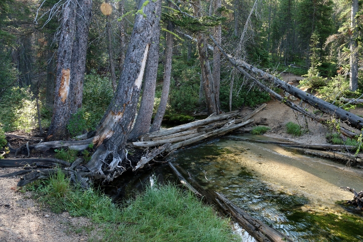
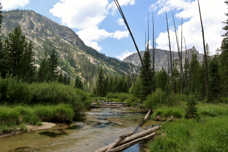
If the run-off doesn't wash it away you will find a log jam to cross Iron Creek on.
Iron Creek looking upstream at the crossing.
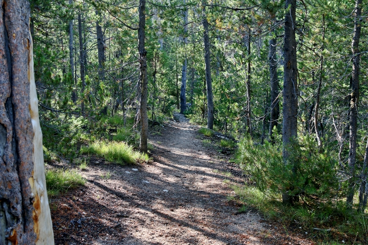
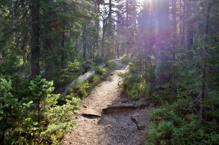
After crossing Iron Creek the trail is still wide and easy for a quarter to a half mile.
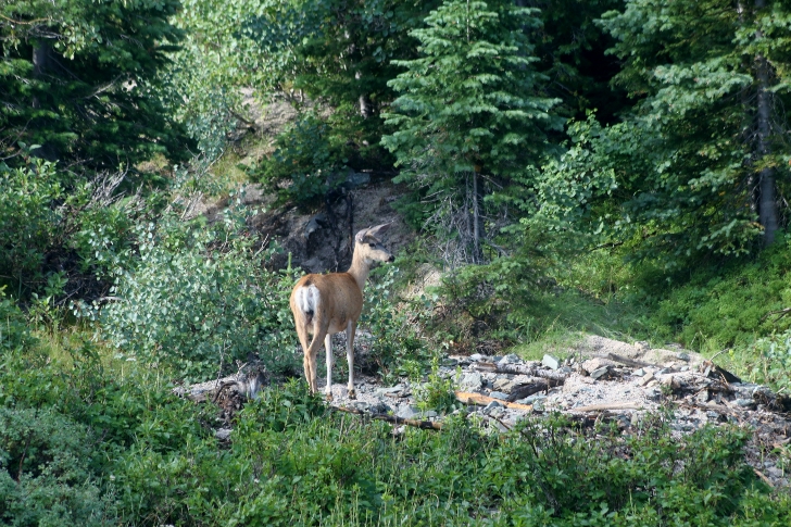
I saw a total of 4 mule deer during this stretch.
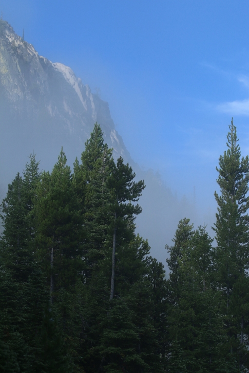
Beautiful!
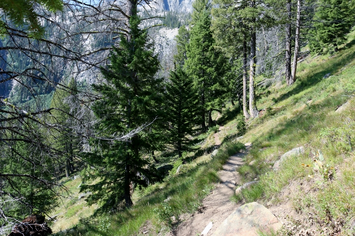
As the trail emerges from the draw it meanders across a slope and is near level for around nearly a mile.
When you come to this fork in the trail stay on the right hand fork to continue on the Goat Falls.
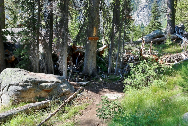
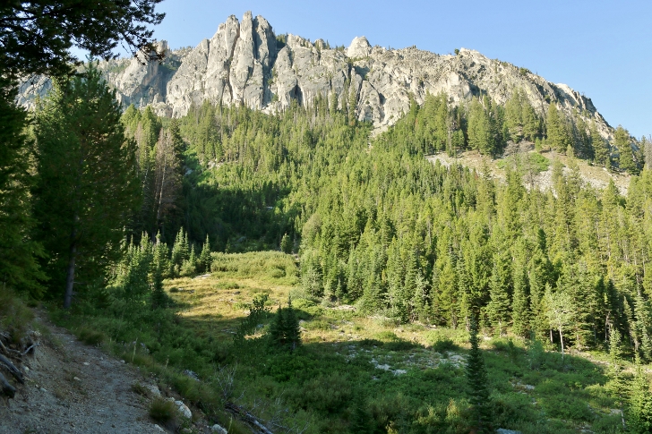
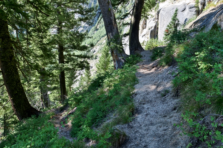
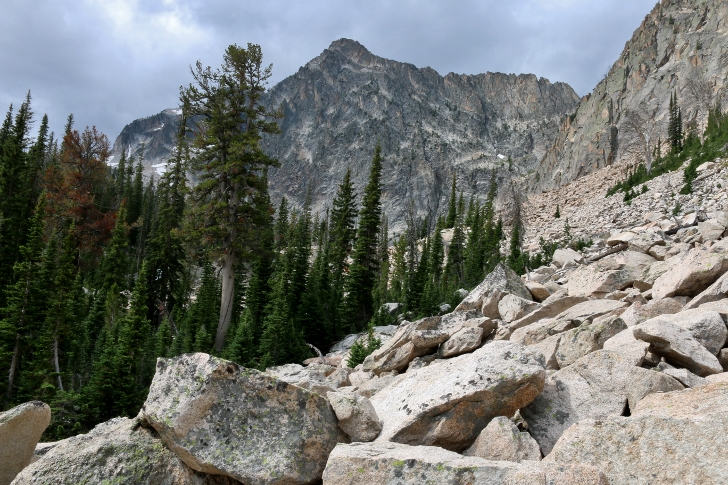
On the last stretch before Goat Falls the trail leads across a steep slope and is not nearly as wide as earlier parts of the trail.
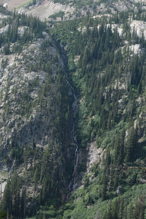
Across the valley you can see this small creek tumbling down the west side of a mountain.
This part is a little tricky. For the best view of the bottom part of Goat Falls you will work your way down. There is a large rock which I found to have the best view for picture taking. When you are ready you will need to find a place to scramble up the first boulder on the right. The path above was obvious but the point to climb the boulder is not so obvious.
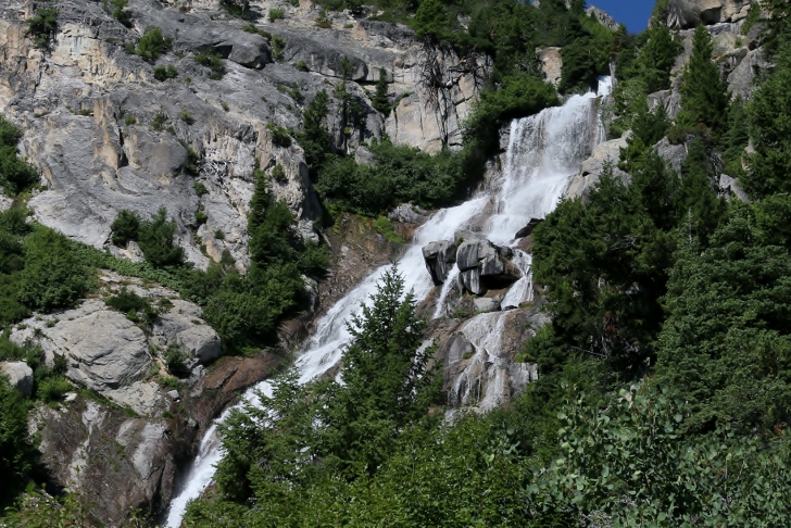
This is the view of Goat Falls from the large boulder I mentioned below the falls. The elevation at the boulder below the falls is about 7400 feet while the lake is 8230 feet so if you are not up to a steep climb this would be the place to stop. However I made this hike without difficulty by traveling slowly. Of course, I was stopping often to take pictures.
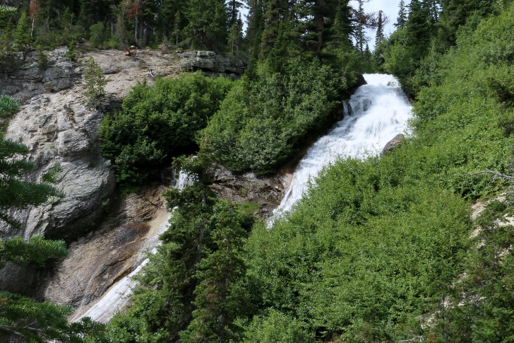
This is the top of the falls, there is about a 800 foot drop from top to bottom. The trail up along the falls has sections of loose sand and gravel so watch your footing.
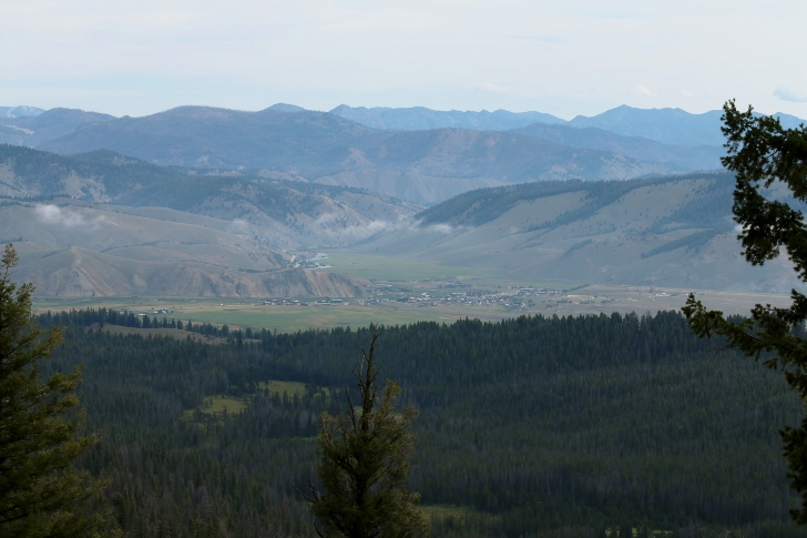
Check out the view of Stanley from the top of the falls.
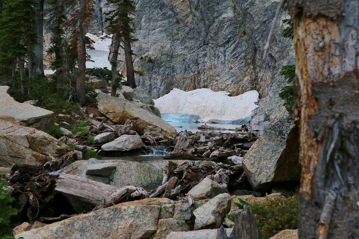
I didn't know any better so I worked my way across this boulder field to the lake but if you stay near the creek you can cross and hike a nice trail to the lake.
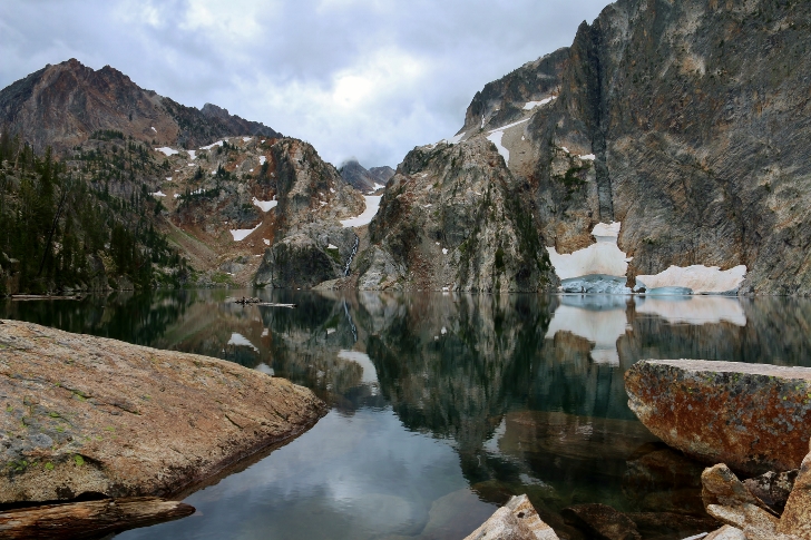
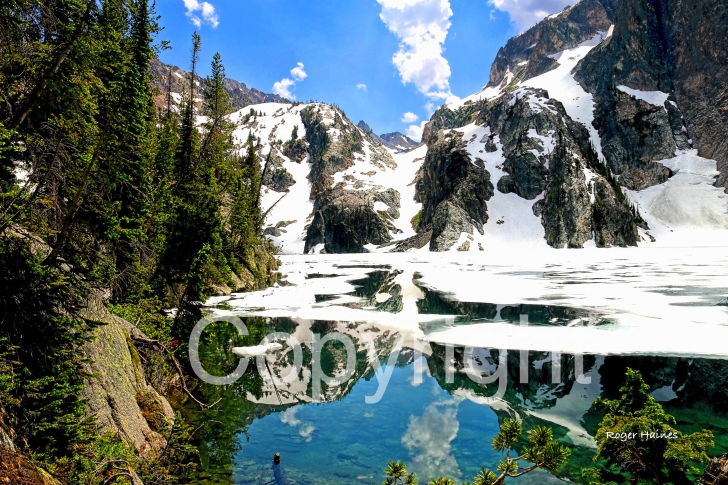
This was my first view of the lake. I didn't expect to see that blue ice.
I didn't get to stick around long as there was a strong thunderstorm coming so I hope to return someday maybe for an overnight visit. The elevation at the lake is about 8,230 feet.

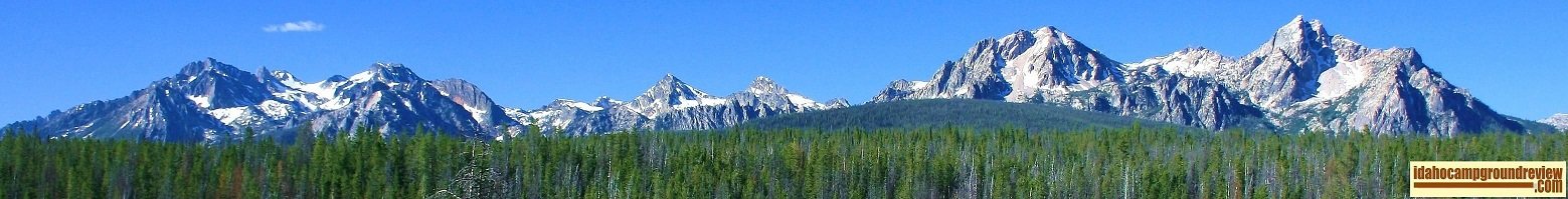
Being new to the Sawtooths I find such places to be overwhelmingly beautiful.
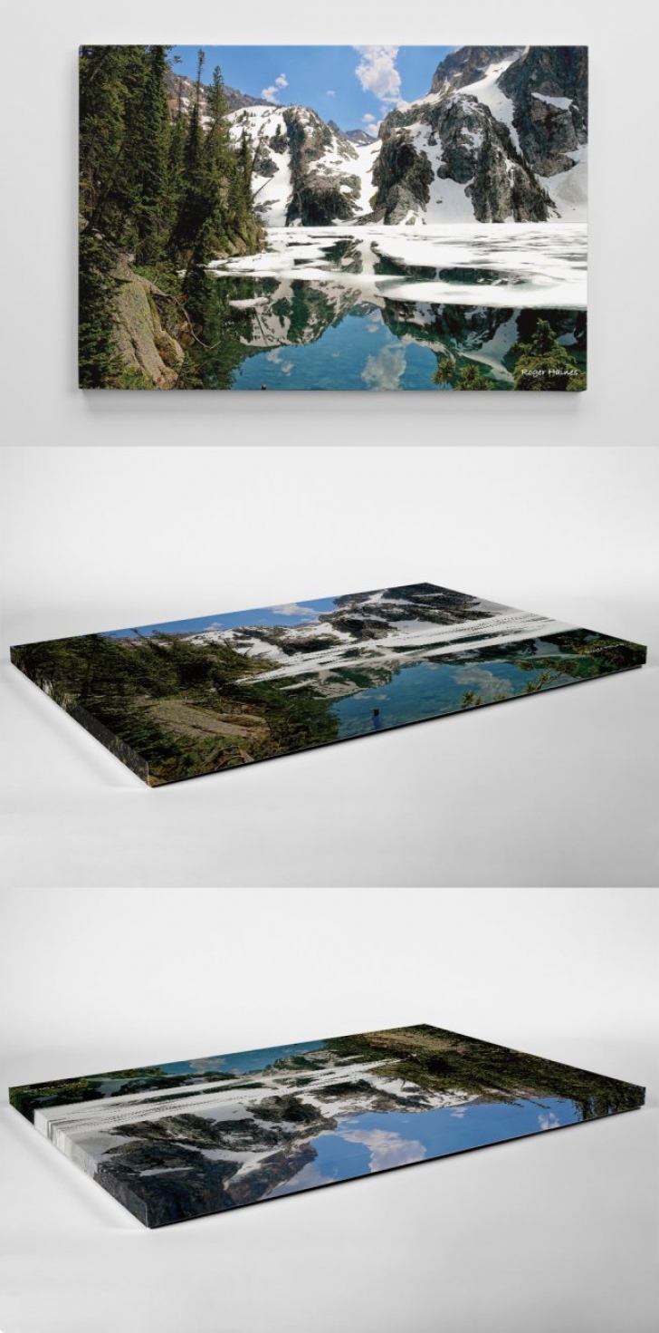
Idahocampgroundreview is offering this 24"x36" canvas photo, "Goat Lake", on a canvas mount option. Our price of $179.00 includes shipping in the US. For more information or to order please contact us at roger@idahocampgroundreview.com
As you can see on these pictures the print wraps around the edges. This foam mounted canvas print is very light and easy to hang.