Hell Roaring Lake is located in the Sawtooth Mountains about 13 miles south of Stanley, Idaho as the crow flies. The hike is almost exactly 5 miles from the trailhead to the foot bridge over the outlet stream. Per Google maps there is a difference in elevation of just over 600 feet. 320 feet of that gain happens in the first half to three quarter of a mile. I have heard this hike can be quite colorful in early summer with all of the wildflowers in bloom. Sadly I made this hike in October and found the hike to be very uneventful until I reached the lake. The views at the lake are breath taking and made the hike well worth it.
Let's start with directions on finding the trailhead. Starting at Stanley, Idaho travel 15.3 miles south on Highway 75 to Forest Rd 209 which will be on your right. Follow FR209 .2 miles where after crossing the Salmon River you will turn left on Forest Rd 315. The trailhead is on your right about .3 miles down FR 315.
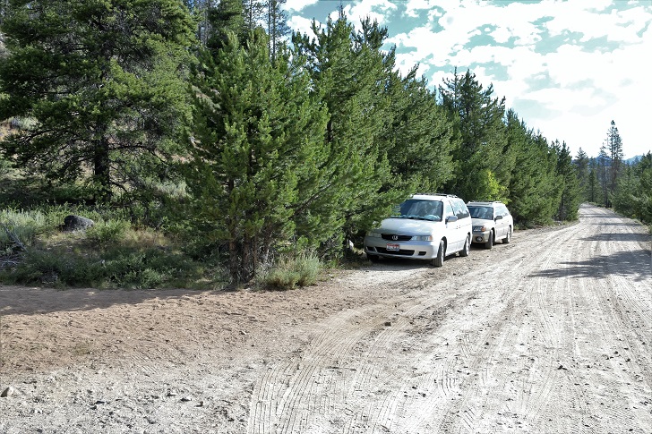
The trailhead for trail 97.
There is room for 3 or 4 cars to park along the road. Check out this google map for directions from Stanley, Idaho.
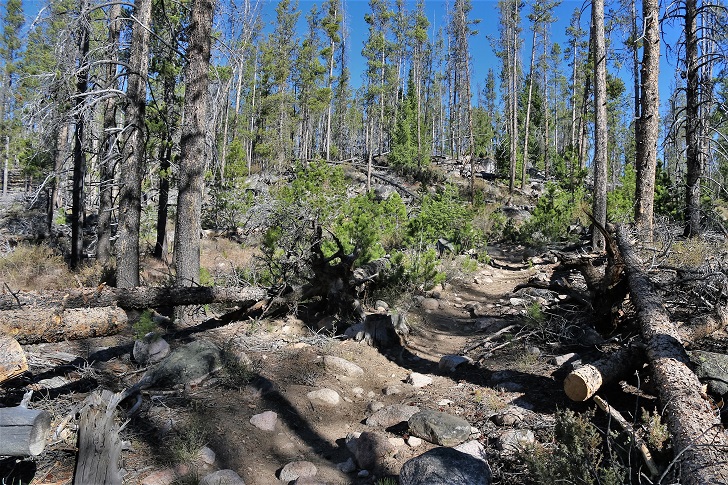
The trail starts with with a stiff climb for a little over one half mile.
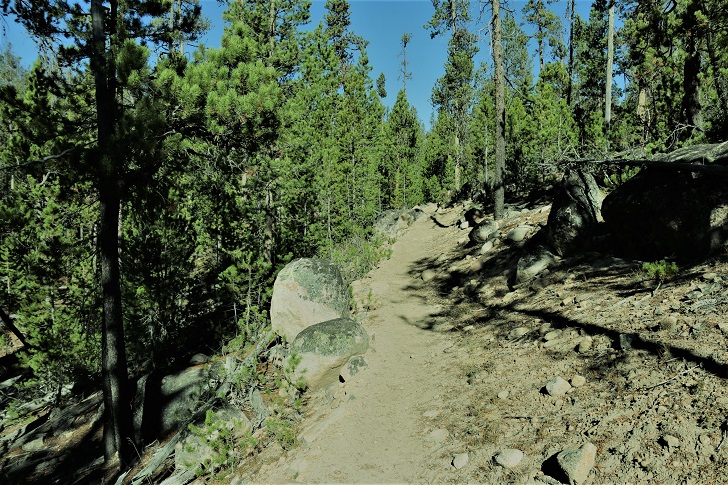
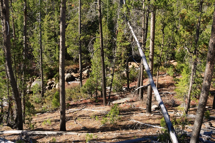
After the first half mile the trail levels off with only a gentle rise for most the next 4 miles. This is a view of Hell Roaring Creek about a mile from the trailhead.
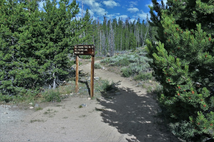
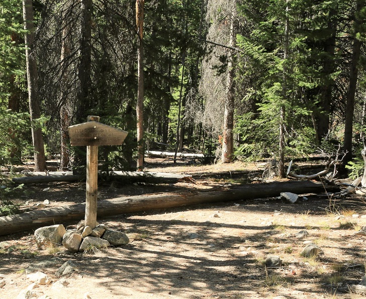
With 1.8 mile to go you will find this sign where a trail comes in from the end of Forest Rd 315. I am told you need a serious 4x4 to use this option.
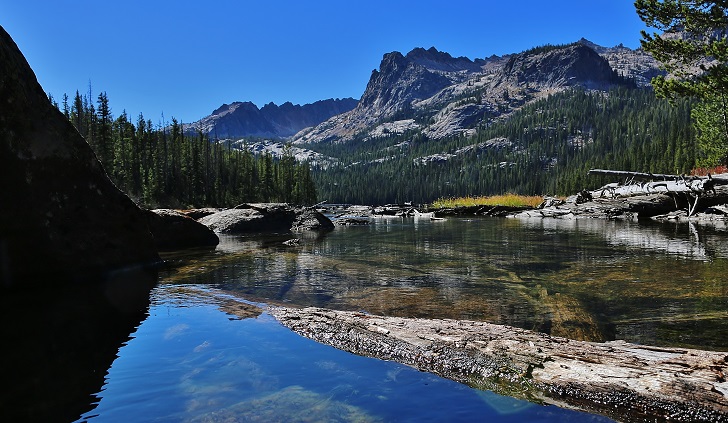
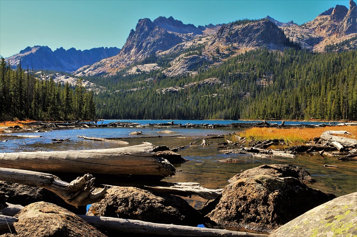
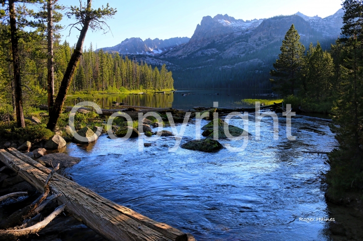
At 5 miles you will come to a junction in the trail turn left and you will find the foot bridge over Hell Roaring Creek at the outlet to Hell Roaring Lake. Check out these next photos of the Hell Roaring Lake.
Hell Roaring Lake
Elevation: 7407 feet
Coordinates:
N 44 01' 36.4"
W 114 55' 42.7"
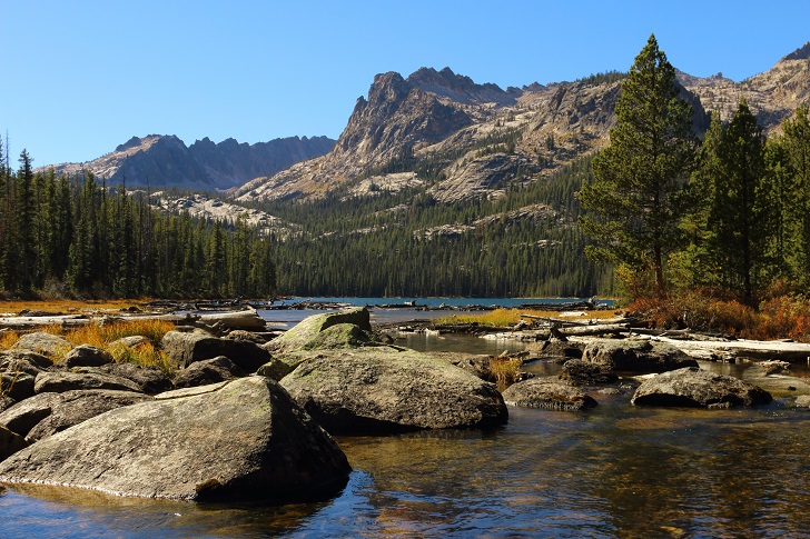
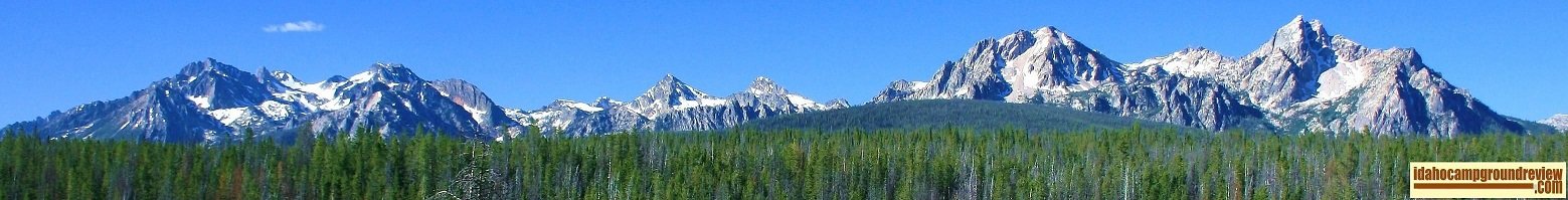
On the right edge of this picture you can see the finger of fate and if you know what to look for the "Arrowhead" is clearly visible.
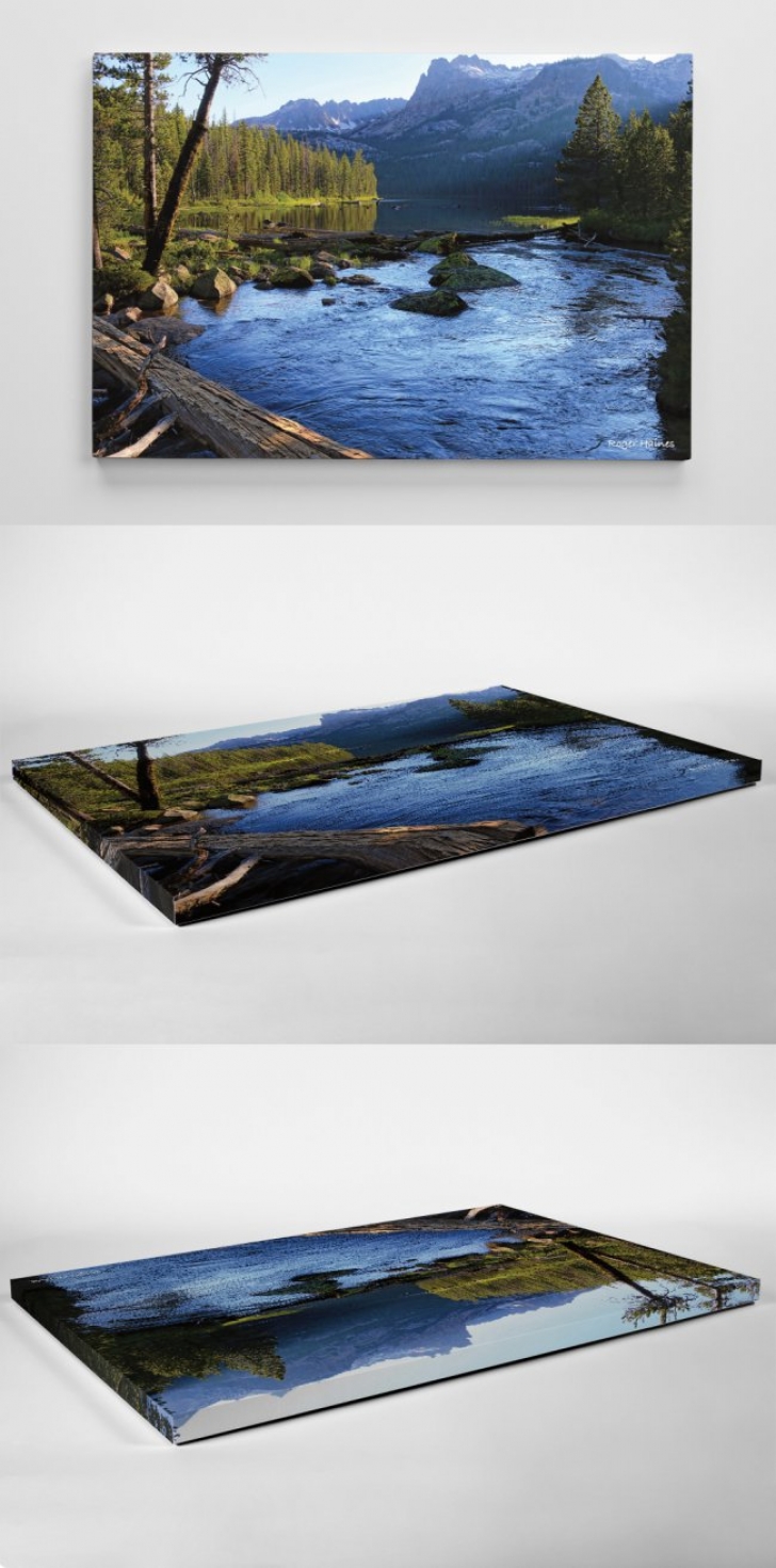
Idahocampgroundreview is offering this 24"x36" canvas photo, "The sun is setting at Hell Roaring Lake", on a canvas mount option. Our price of $179.00 includes shipping in the US. For more information or to order please contact us at roger@idahocampgroundreview.com
As you can see on these pictures the print wraps around the edges. This foam mounted canvas print is very light and easy to hang.