I set out bright and early August 11, 2016, pulling my 19 foot Jayco trailer to Hard Creek Campground. To get there, I traveled north on Highway 95 to New Meadows where I turned right toward McCall. I followed Highway 55 to a left turn onto Goose Lake Rd in 6.5 miles. It is 19 miles to Hard Creek Campground which is not marked, however, it is only .5 miles past the Grassy Mountain Trailhead which is marked. The road over Brundage Mountain is rather rough when pulling a trailer, but just go slow.
My goal was to spend 3 days doing day hikes with Hidden Lake being my first target. I arrived before noon and quickly set up my trailer. I have long thought of trailer camping as being for sissies. Perhaps that is what I have become, but there is nothing to compare to a day spent hiking mountain trails to remote lakes only to return to a quick shower followed by dinner and a bowl of my favorite ice cream.
I like to carry my camera along with a light but well fit daypack with emergency supplies, snacks and my Steripen. I chose to use a Steripen because it is lightweight, only 7 ounces, and provides nearly unlimited sterilized water. The down side is, it is not filtered so if you are trying to use murky water, the taste comes through, yuck. I solve this problem by refiling my water bottle when I find nice clear streams.
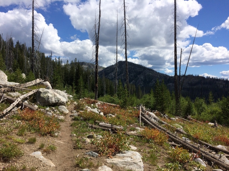
I was ready to go just after lunch and headed to the trailhead. Now that is a pretty short walk since I parked my trailer in the campsite next to the trailhead. The hike to Hidden Lake is approximately 2.5 miles. The trailhead is actually 80 feet higher than the lake and yes, there is a bit of elevation gain and loss, but it is a rather easy hike.
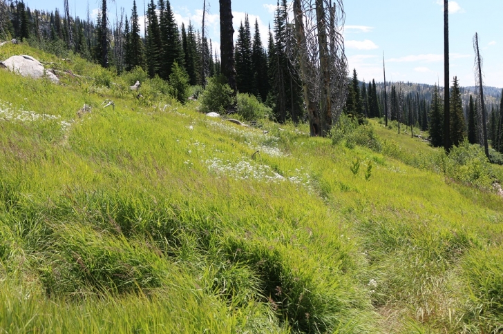
The trail starts out crossing a grassy meadow followed by an equally grassy hillside with very pleasant views to the south and west. Bare in mind while grass is pretty and pleasant, when it reaches 2 to 3 feet high, it tends to hide things like rocks and logs from your view. At times you will need to step with care. Also, if you are taking off in the dewy morning hours, you can get quite wet.
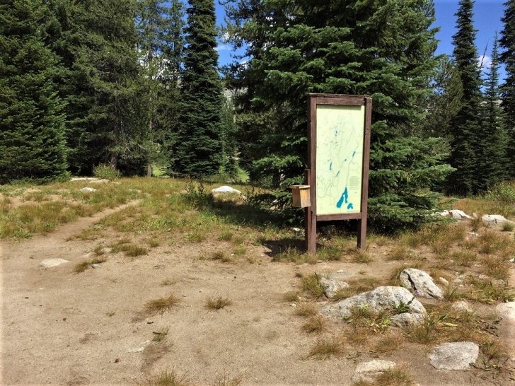
The trailhead in Hard Creek Campground
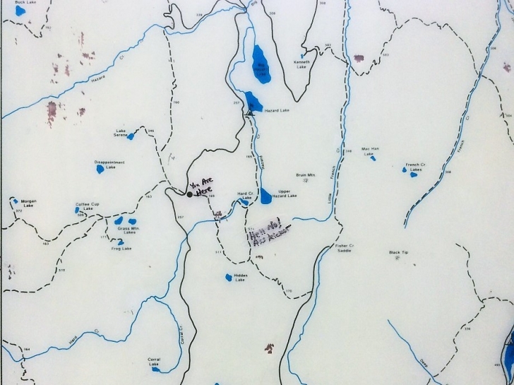
A close up view of the area map.
As you can see at a half mile into the hike the trail is nearly over-run by the grass.
Before you reach the first junction in the trail the grass falls away and the way becomes rocky with wildflowers scattered about.
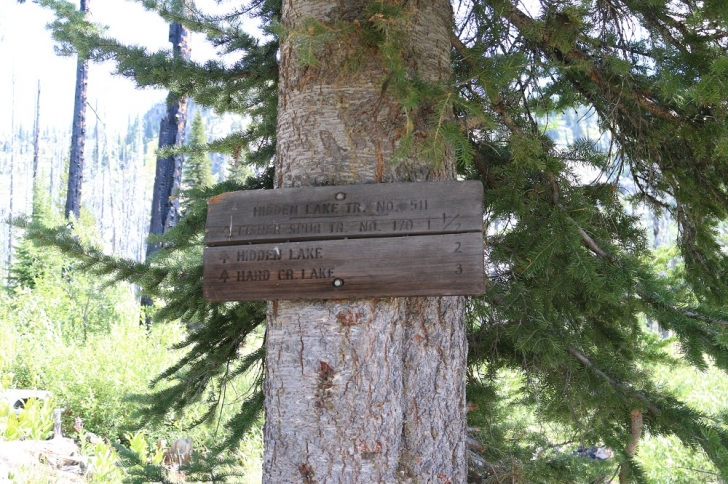
At .9 to 1.0 miles you will see the sign at the junction in the trails, left to Hard Creek Lake and right to Hidden Lake. I will be publishing the hike to Hard Creek and Upper Hazard Lakes also but for now turn right. The trail crosses Hard Creek shortly then starts to curl around a hill.
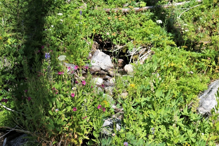
There are lots of wild flowers along the way to Hidden Lake.
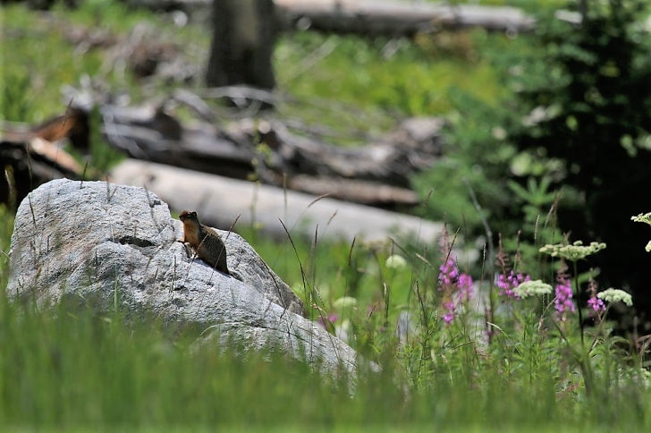
I found a few friends along the trail that came out to say "Hi!"
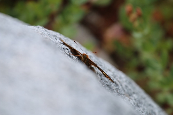
I'm not sure what this guy is but he caught my attention.
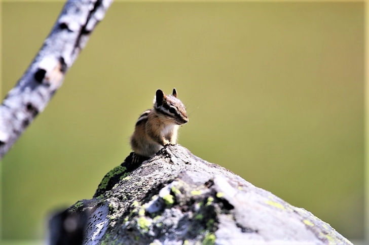
This little chipmunk just had to talk to me too.
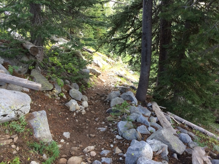
The trail from about a mile and a quarter to a mile and three quarters is like this.
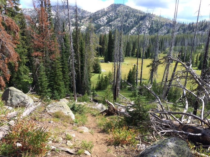
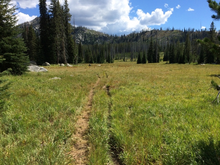
Something like two miles into the hike you will spot these meadows on what Google calls Hard Creek Basin. I'm not sure they are correct but I haven't found a different name. I found this basin very appealing.
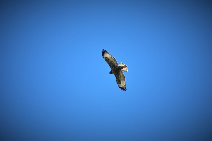
And one more friend I found hunting the meadows.
The trail leads you across the meadows until it enters the trees again near the creek which runs through the basin. You will see a faint trail splitting off to the left, don't take it. It climbs up the ridge to the north and becomes very faint as you go. If you did follow it, it crosses the ridge to Upper Hazard Lake and is very tough going.
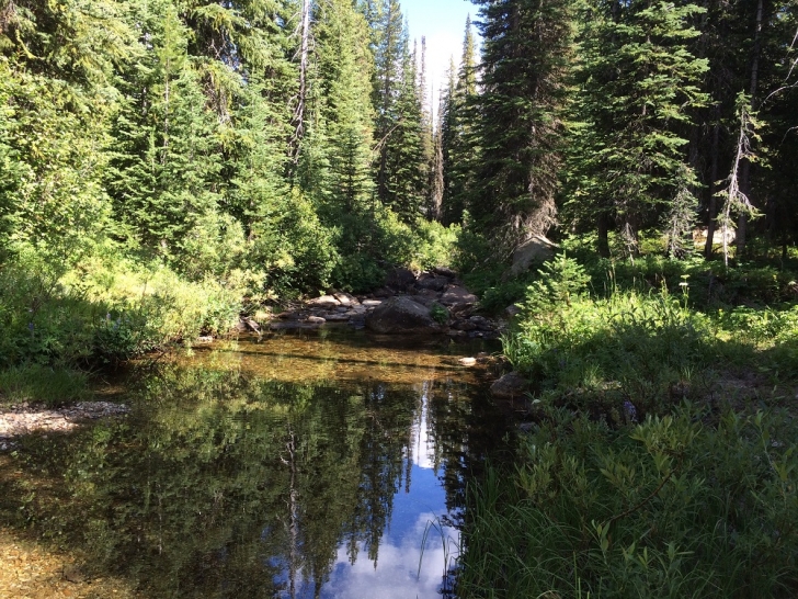
The creek where the trail crosses it. From this creek to Hidden Lake the trail leads through the forest, to what was a dry stream bed at the time of my visit, to Hidden Lake.
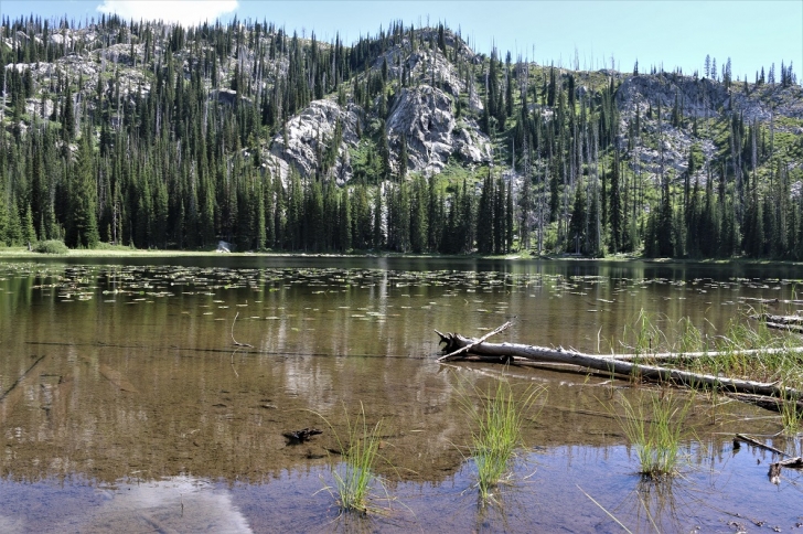
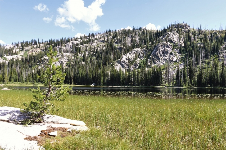
This is a view of the lake from the outlet stream. The best campsites were just to the right of this view. I walked counter clockwise around the lake from here and took the following pictures.
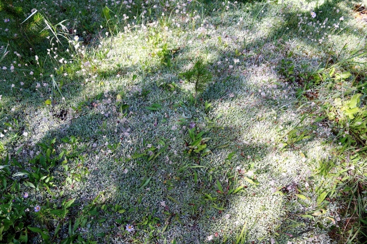
I found this ground cover on the southern shore of the lake. It is rather different than I have found elsewhere.
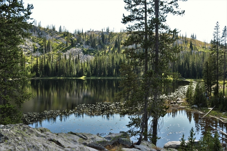
This is on a hill on the north side of the outlet stream. If you look closely, on the right edge of the photo in the trees, you can see a hiker in one of the campsites. They used hammocks for their bedding, which worked well here.
I enjoyed my Schwan's Raspberry Rubble ice cream that evening.