As I stated on my Goat Lake hike review I did not get pictures of the trailhead itself
however these are pictures of the signs at the Iron Creek Trailhead.
For a Google Map of the road to Iron Creek Trailhead from Stanley, ID checkout this link.
I arrived at approximately 7:20am on August 15, 2014
and the first rays of sunlight had managed to reach over the treetops to shine weakly on these signs.
About halfway down this map on the righthand side you will see a bright red star marking your current location.
Following the trail of red dashes marking the trail as it proceeds west southwest from the trailhead
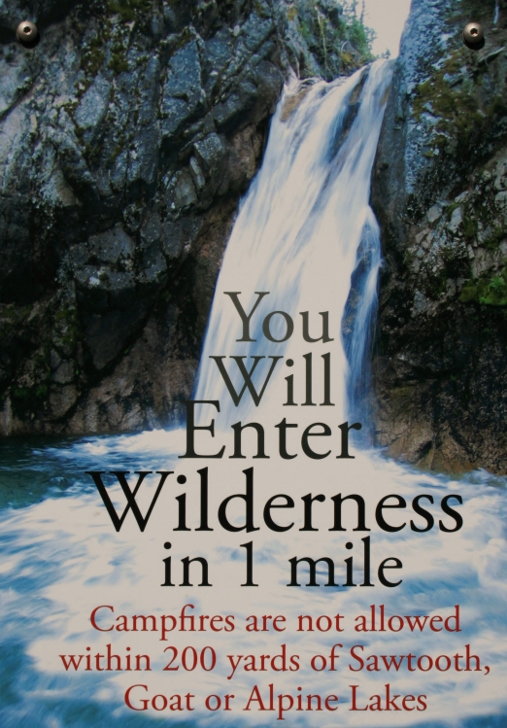
you reach the boundary of the wilderness area in 3/4 of a mile.
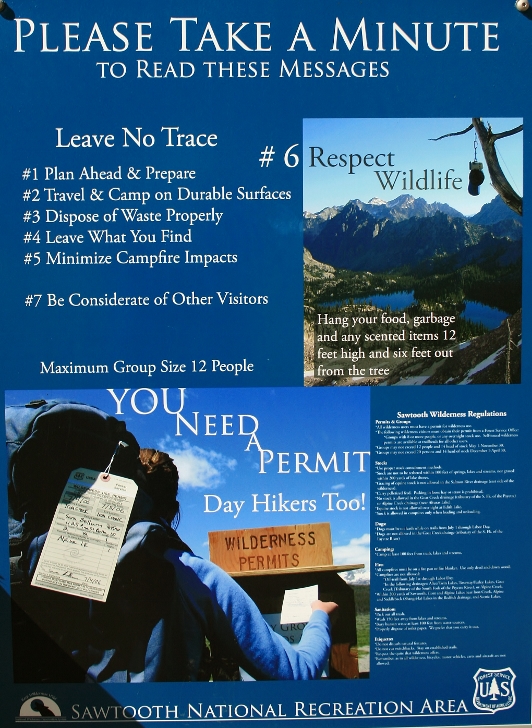
Don't forget to get your wilderness permit before leaving the trailhead.
At 1 mile the trail to Goat Lake forks off sharply to the left. See the pictures below.
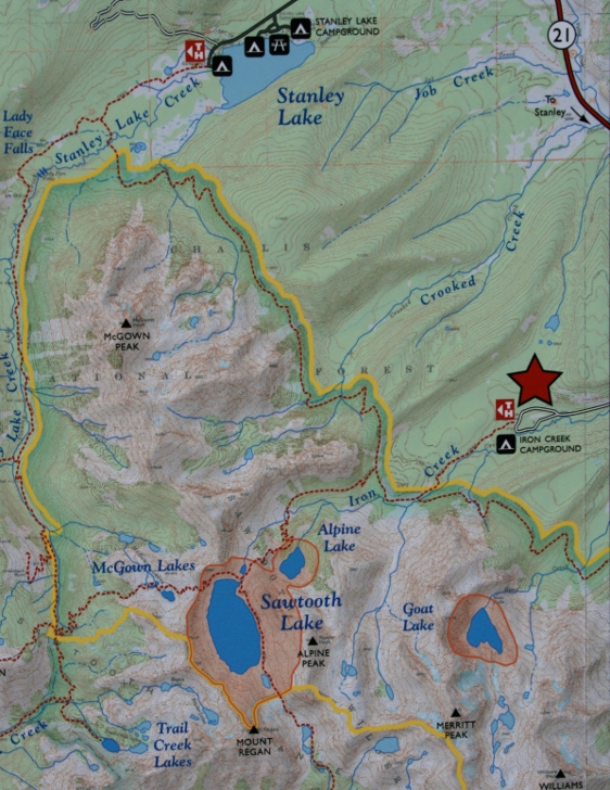
This map of the area is located at the trailhead.
I use a Gregory backpack and have found them to fit better and
make the load feel lighter.
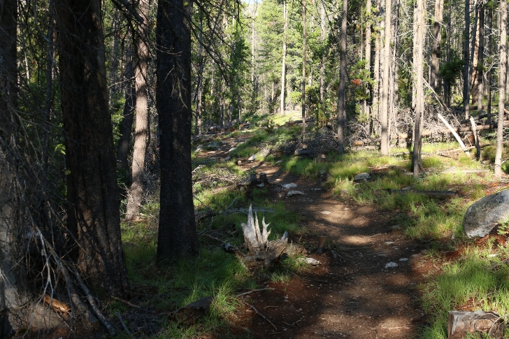
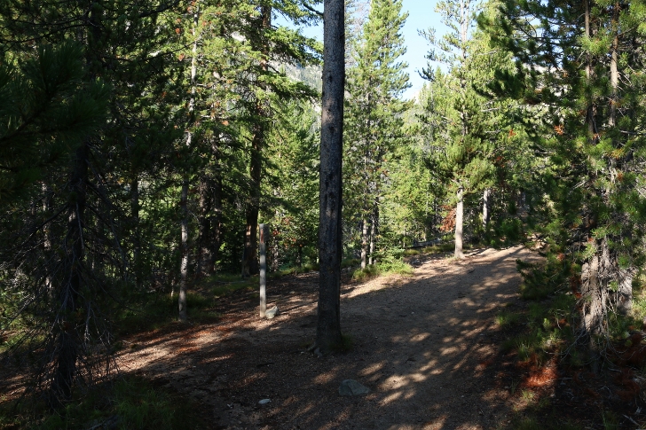
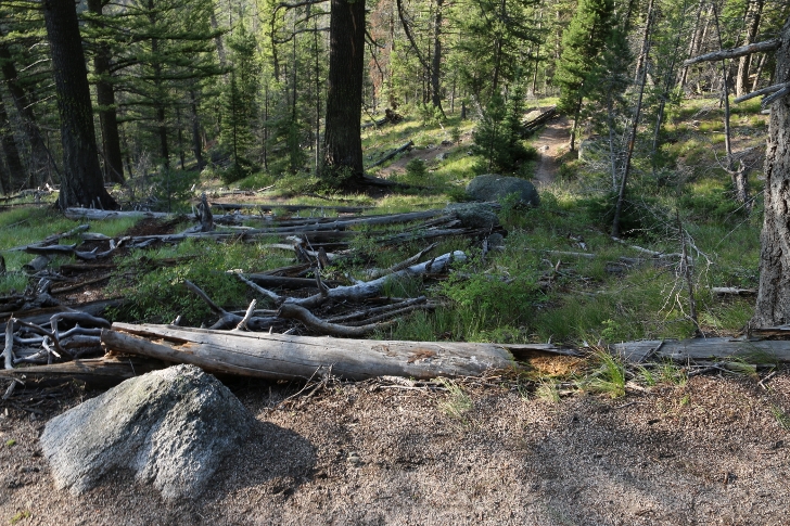
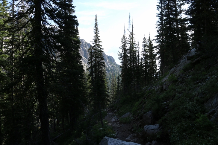
This is the trail during the first 1/2 mile of the hike.
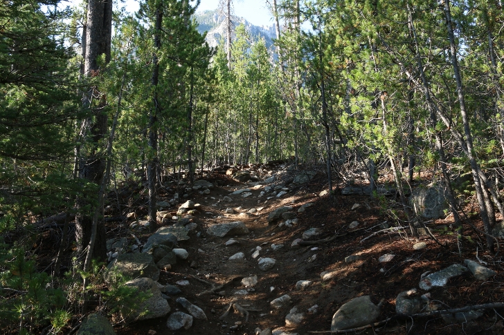
Here is a steeper section of the first mile.
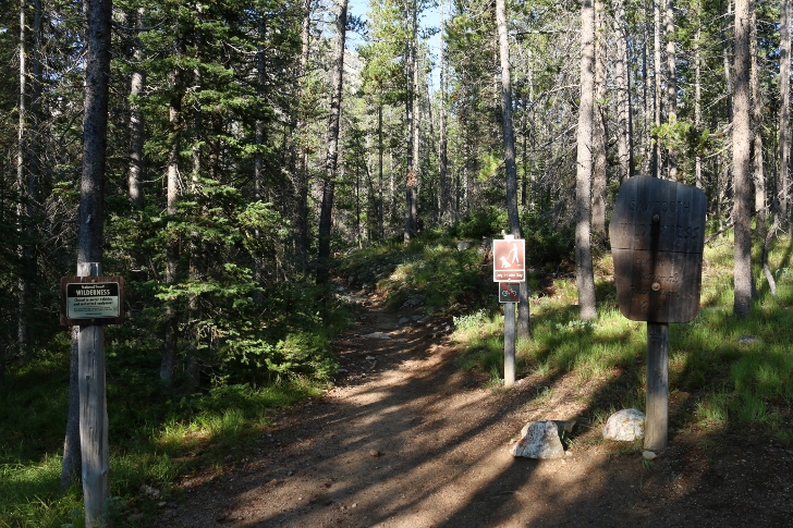
These signs mark the boundary to the wilderness area.
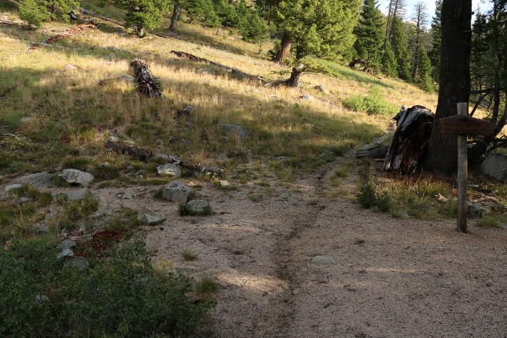
This is the junction with the Goat Lake Trail.
The sign here mentions Marshall Lake to the left and Sawtooth Lake to the right.
Make sure you continue straight on the righthand fork.
At 1 1/2 miles you will arrive at this junction.
The sign here points straight 8 miles to Stanley Lake and Sawtooth Lake to the left in 3 1/4 miles.
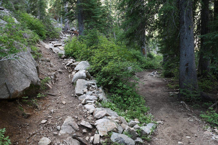
The trail to this point has been fairly wide and smooth climbing slowly.
According to my GPS the elvation here is just under 7000 feet.
After turning left the trail begins to climb more rapidly.
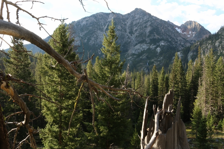
Across the valley on your left you will see a pretty large waterfall. I didn't find a name for it.
Soon the trail enters a section with several switchbacks
but it is still not that hard and even being old(57) and overwieght I didn't need to rest very much.
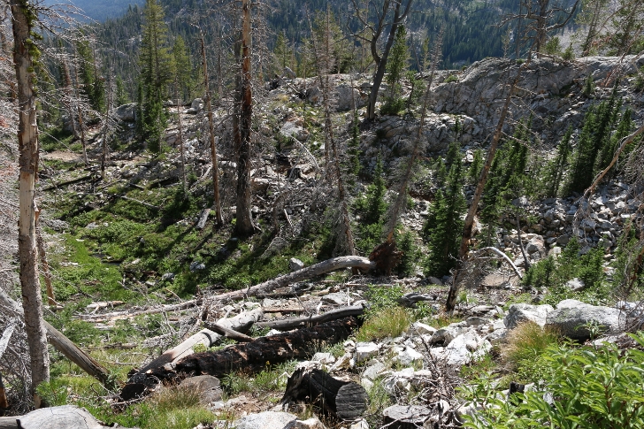
After 2.1 miles I found several large washes where sand and gravel has been washed down the slope.
In some locations it was several feet deep. These would be places to avoid during a thunderstorm.
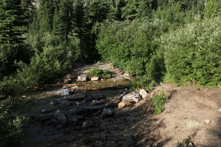
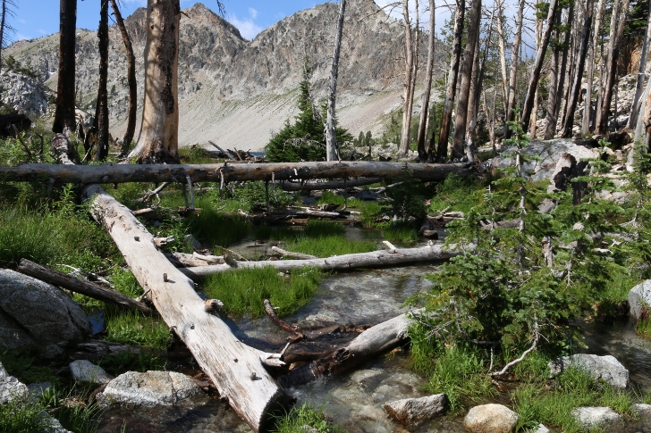
You cross Iron Creek at 2.7 miles.
Enjoy this little meadow at the creek because it is the last bit of level trail for awhile.
At the edge of the meadow I enjoyed a brief rest and
took pictures of the view on these handy boulders. Elevation here is 7,445 feet.
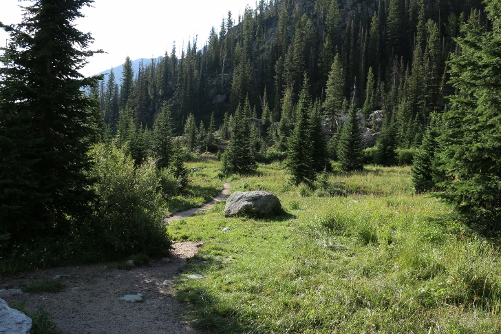
The climb to Alpine and Sawtooth Lakes begin in earnest here.
The trail gets really rocky here and one could easily miss the trail for a bit.
Here is a typical switchback.
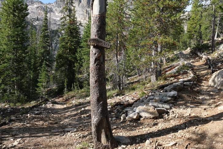
I still didn't find the hike to be strenuous as I reached the sign indicating Alpine Lake to the left
however as I listen to my recordings I was breathing fairly hard.
7,816 feet elevation and 3.37 miles from Iron Creek Trailhead.
It is only a couple hundred yards down to the lake.
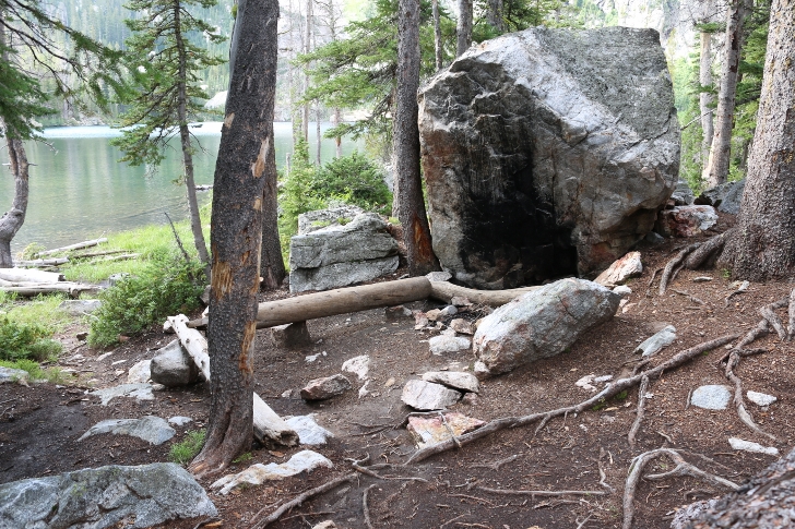
I have included several pictures of the lake and one campsite.
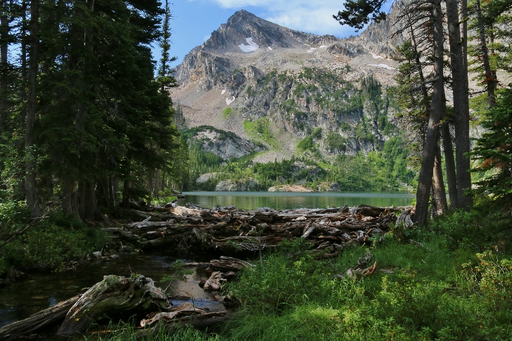
There are several campsites on both sides of the lake. 7747 feet in elevation at Alpine Lake.
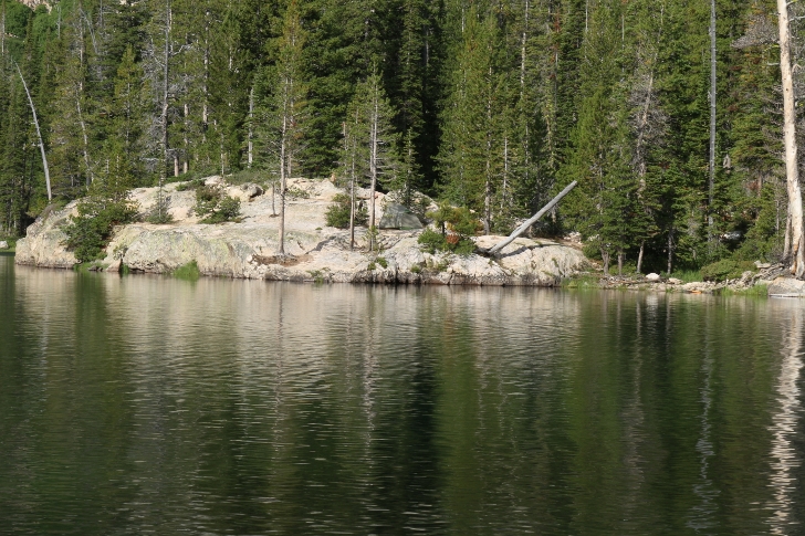
Do you see the tent on the rock?
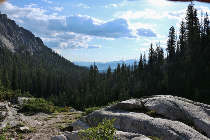
Here is a view from the trail above Alpine Lake on your way up to Sawtooth Lake.
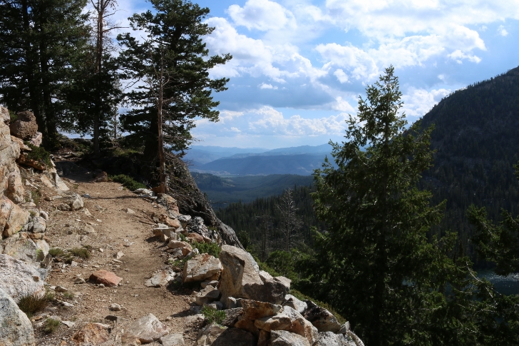
Check out the trail above Alpine Lake. Stanley is located in the meadows far in the distance.
This section is near the top before reaching Sawtooth Lake.
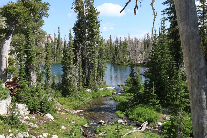
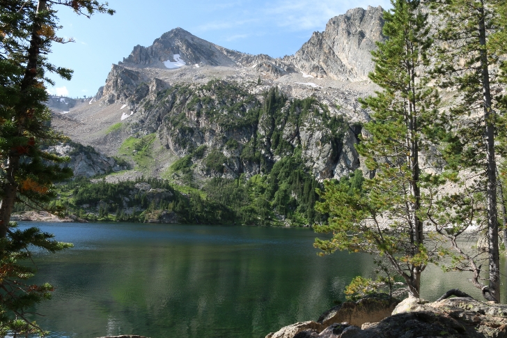
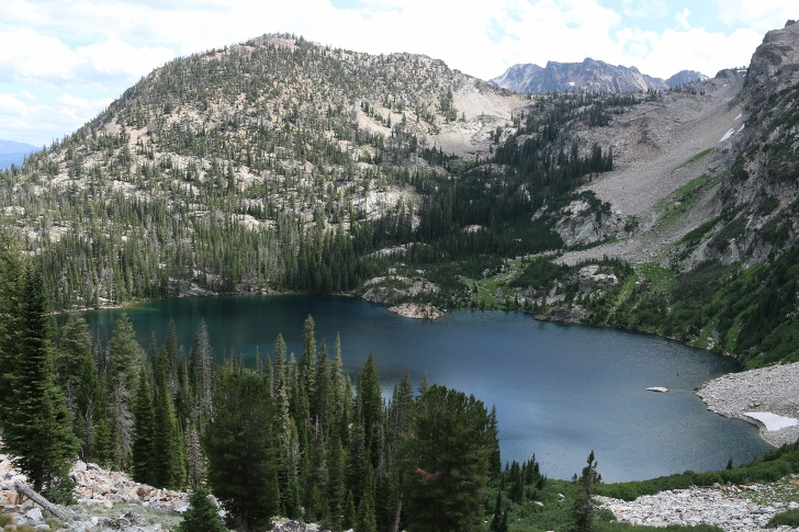
There is a beautiful small lake just before Sawtooth Lake.
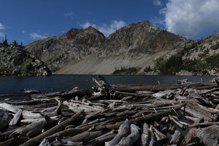
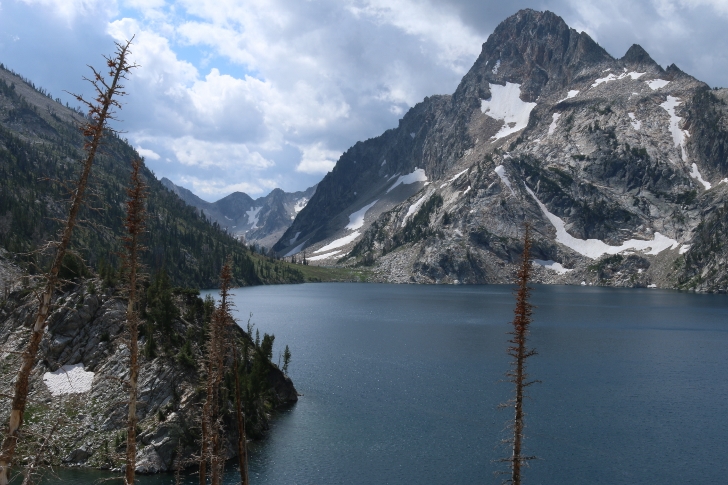
My first glimpse of Sawtooth Lake.
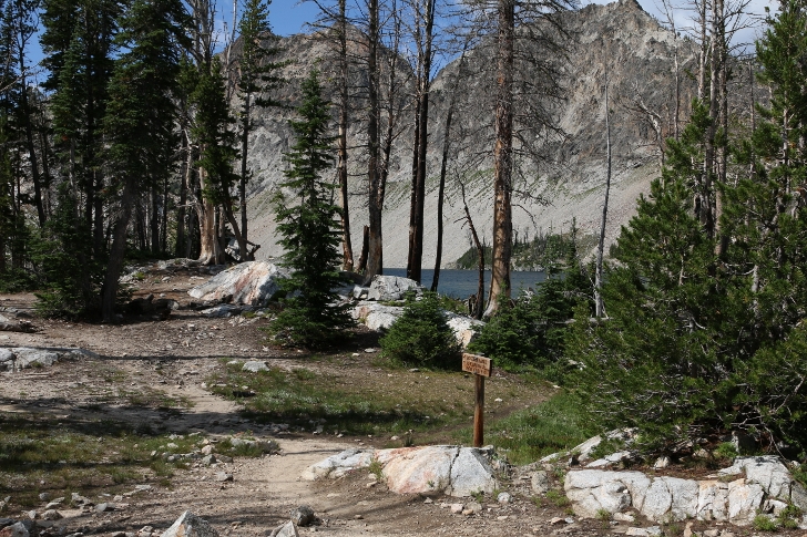
At the sign I went right and crossed the creek to continue to a view point above the lake.
The creek here was so clear but I still used my SteriPEN to sterilize my drinking water.
On a side note, I choose to use a "SteriPEN" for my drinking water.
It only weighs 7 ounces and last for hundreds of liters.
Sawtooth Lake from the outlet stream.
I took the trail along the north end of the lake to the pass between Sawtooth Lake and the McGown Lakes.
There is a great viewpoint there.
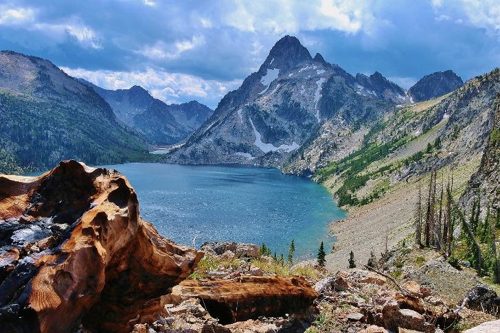
That's Mount Reagan rising from the south end of the lake to just over 10,100 feet.