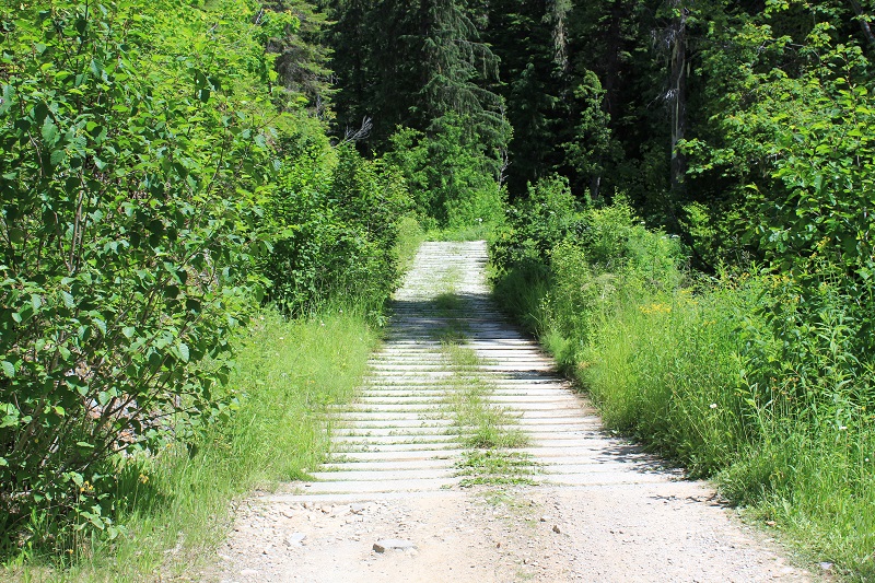
A view of the road to the falls. There are several sections like this. Follow this Google Map from Devil's Elbow Campground. The lower part of Yellow dog Road was washed out and was closed.
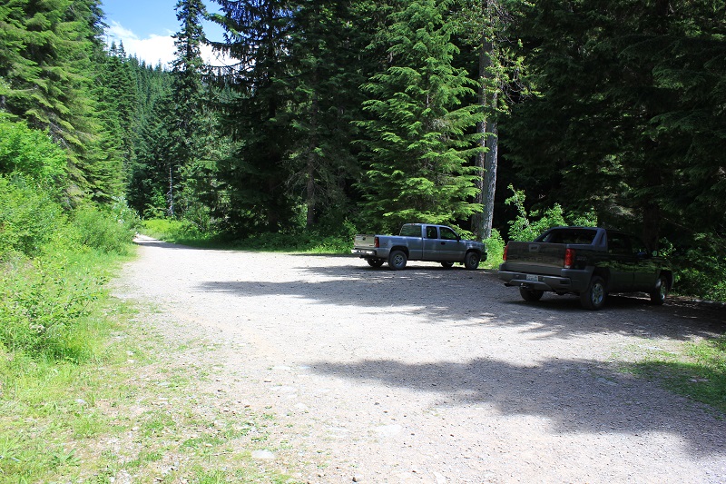
There is room for several vehicles and to turn around. The GPS coordinates at the parking area are:
N 47 degrees 45.695' by W 116 degrees 06.146'
The elevation is 3165 feet.
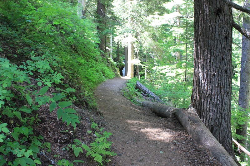
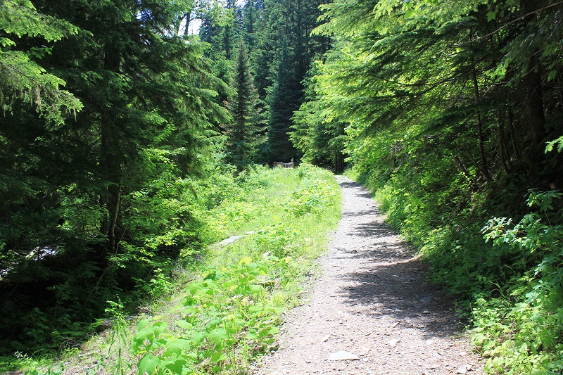
The trail from the parking to Fern Falls is wide and easy. It is only a few hundred yards long. (300 yards plus or minus a bit)
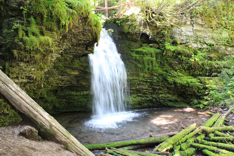
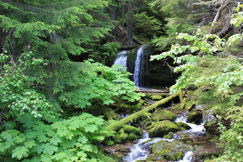
Fern Falls
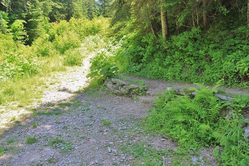
Just past Fern Falls watch for this sharp right hand turn.
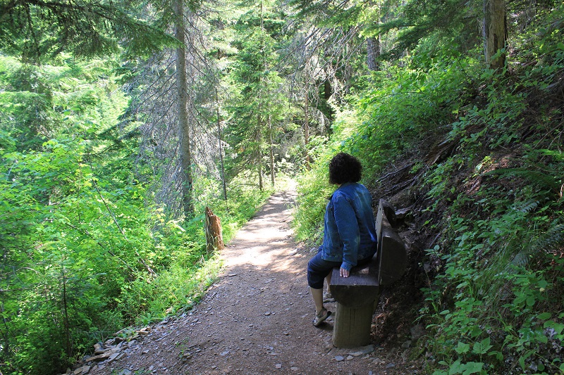
The trail to Shadow Falls is steep but there is a bench to rest on and it is a short climb.
A short distance past the bench you will see Shadow Falls ahead.